Plan by interest
Outdoor & adventure
Trails, peaks and waterfalls
Lace up for the wild side of the hills — shola trails, ridge-top viewpoints, plunging waterfalls and the high grasslands of the Western Ghats.
Best season
September – March (clear, dry trails)
Suggested length
2–4 days
The Nilgiris reward anyone willing to walk. Cool air, big views and quiet trails run from the gentle Wenlock Downs to tougher climbs like Rangaswamy Peak and the Kukal caves.
Pair a morning trek with a waterfall or a high-lake nature reserve, and finish on a scenic ghat drive as the valley falls away below you.
Things to do
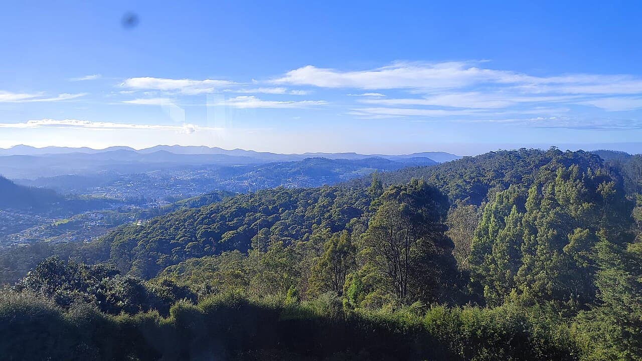
Doddabetta Peak
The highest point in the Nilgiris (2,637 m) with a telescope house at the summit.
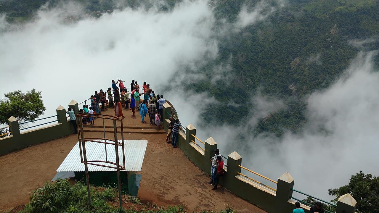
Dolphin's Nose
A clifftop nose of rock looking over the Catherine Falls gorge.
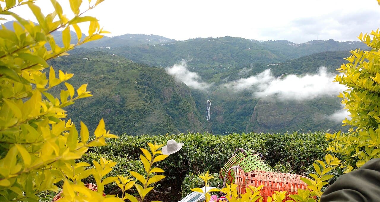
Catherine Falls
A two-tiered 250-foot fall among tea and silver-oak; viewpoint off the Kotagiri road.
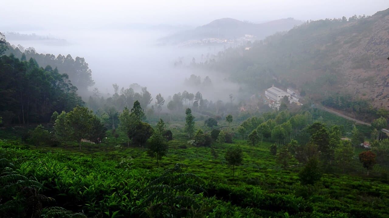
Kodanad Viewpoint
Where the hills meet the plains — a sweeping view over the Moyar valley.
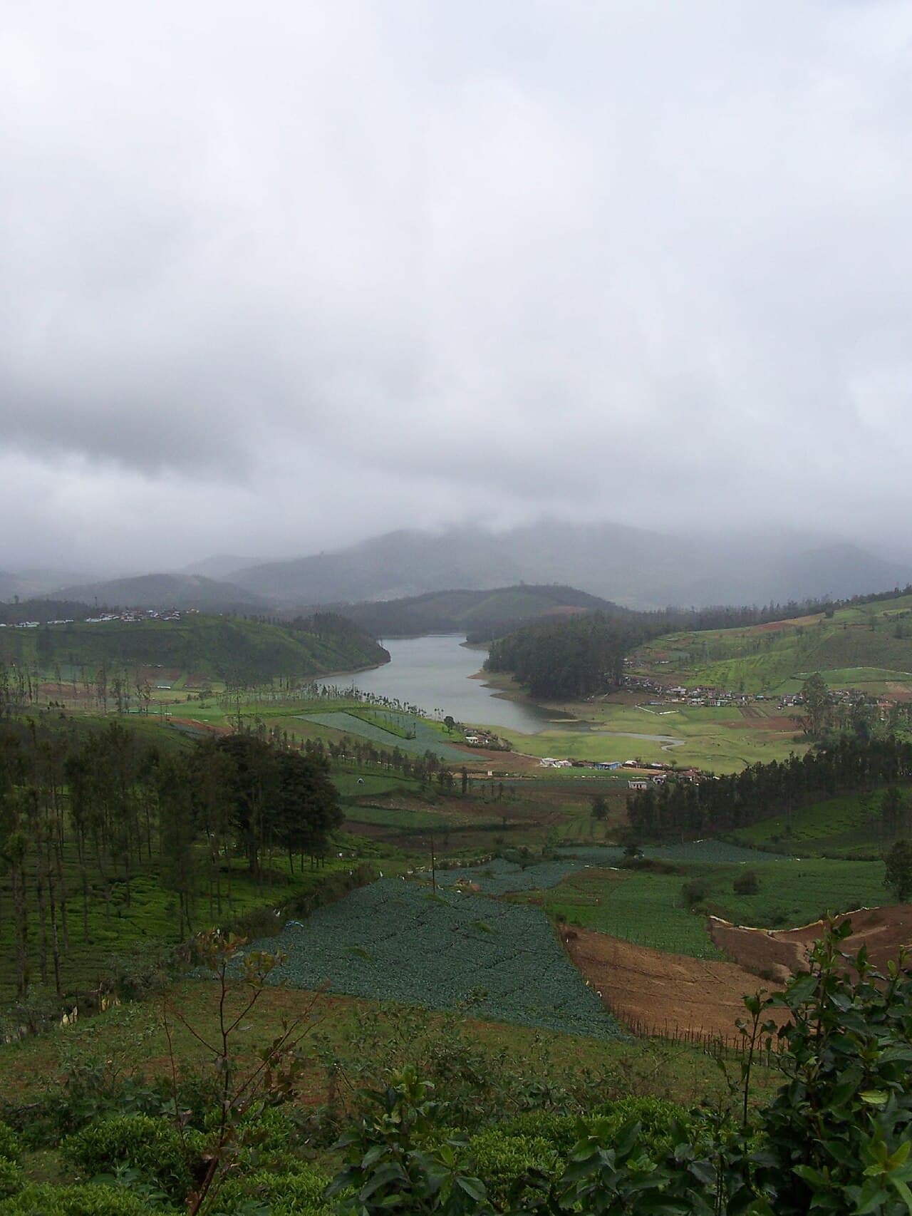
Avalanche Lake & Shola
A trout stream, rhododendron shola and grasslands deep in a reserved forest south-west of Ooty — visited only by forest-department jeep.
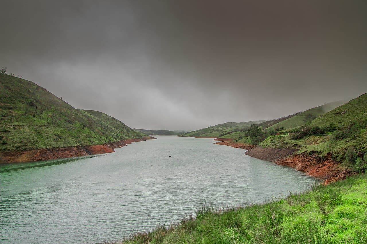
Upper Bhavani
A remote reservoir on the edge of Mukurthi, ringed by high-altitude shola — one of the last refuges of the Nilgiri tahr.
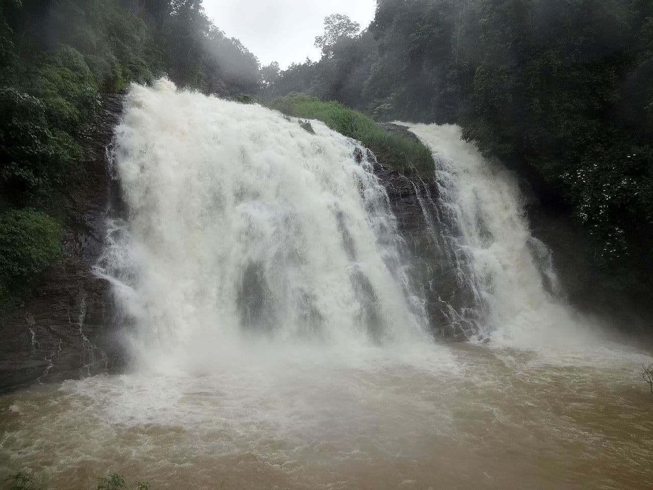
Pykara Lake & Falls
A boating lake and a stepped waterfall on the sacred Pykara river, set among some of the finest shola-grassland on the Ooty–Gudalur road.
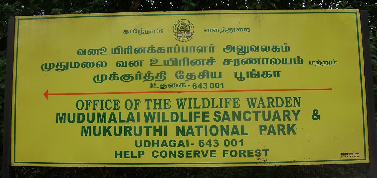
Mukurthi National Park
A high-altitude park of rolling grassland and stunted shola, the heart of the Nilgiri tahr's range and a core zone of the Nilgiri Biosphere Reserve.
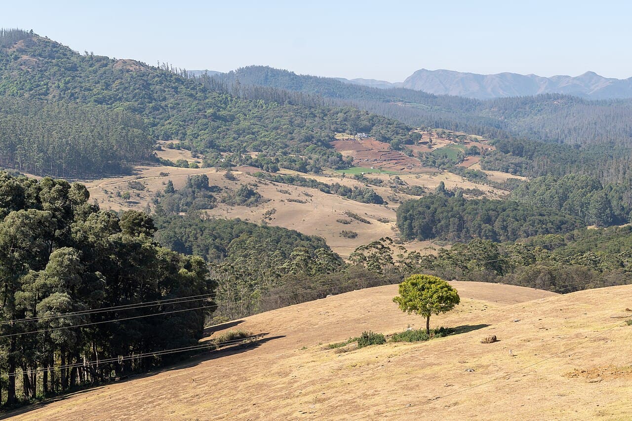
Wenlock Downs & 6th Mile
Open rolling downs of grass and lone shola clumps — the '6th Mile / Shooting Point' is the most filmed landscape in the Nilgiris.
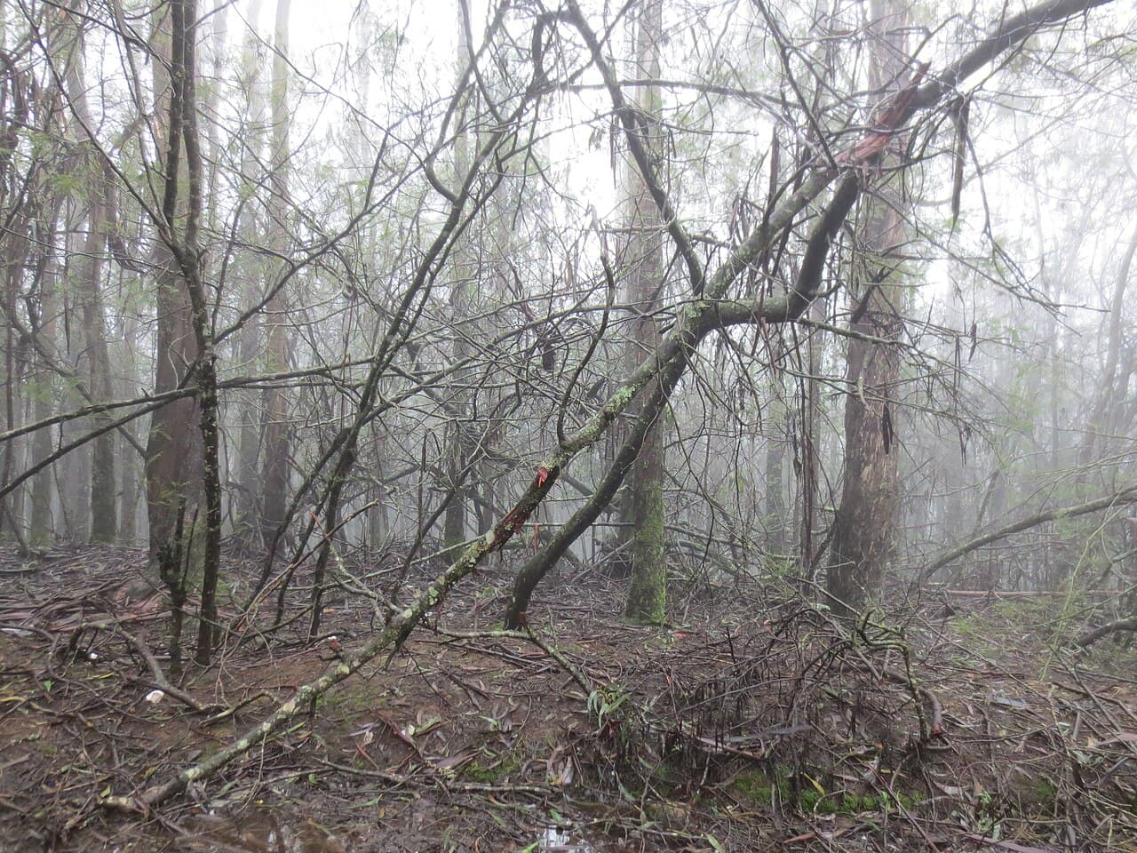
Glenmorgan
A tea-estate hamlet above the Pykara powerhouse, with a disused winch railway and a view down a forested gorge to the plains.
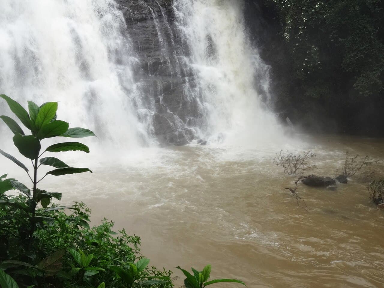
Kalhatti Falls
A 100-foot fall on the old Sigur ghat below Ooty, in dry-deciduous forest where elephants and gaur range up from Mudumalai.
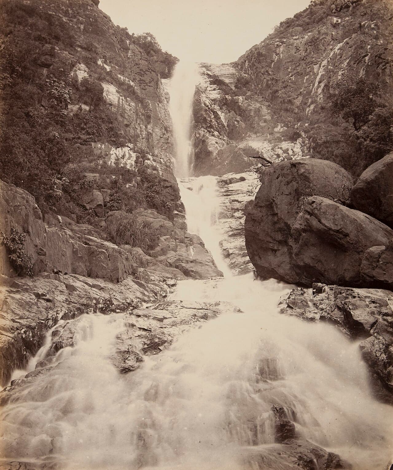
Law's Falls
A roadside fall at the foot of the Coonoor ghat where the river drops beside the old coach road to the plains.
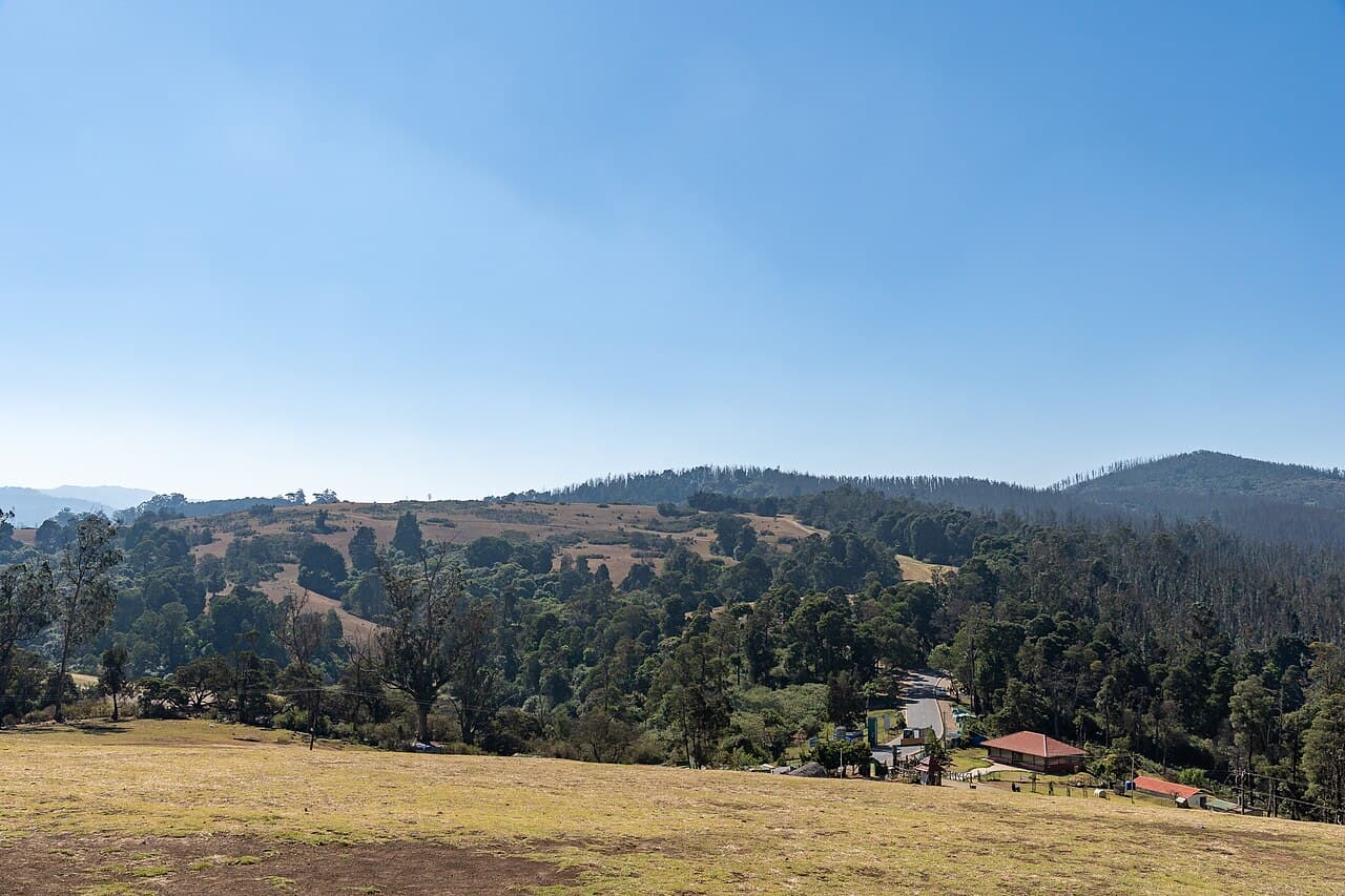
Droog Fort
A ruined hill-fort once held by Tipu Sultan, reached by a forest trek through tea and shola to a 6,000-foot lookout.
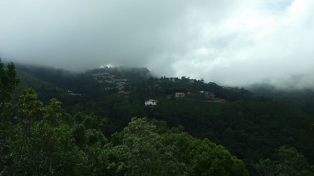
Lamb's Rock
A short walk through a stretch of shola to a cliff edge looking down the Coonoor gorge to the Coimbatore plains.
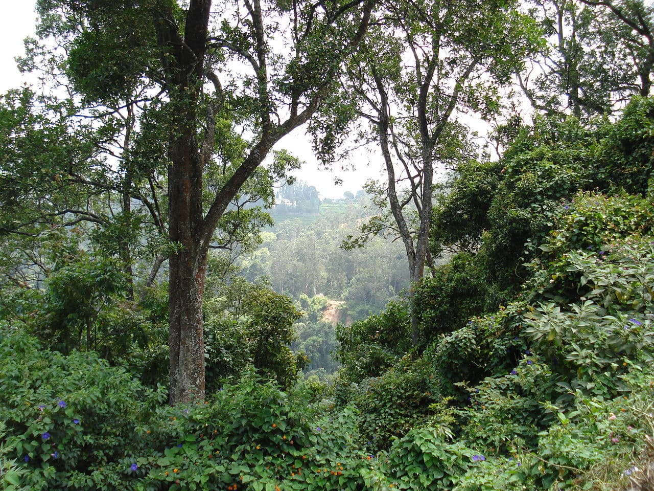
Hidden Valley Trek
A steep, lightly used trail dropping off the Dolphin's Nose ridge into a wooded valley below the tea line.
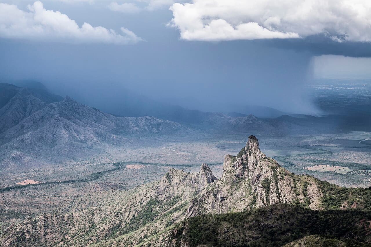
Rangaswamy Peak & Pillar
A sacred conical peak and a detached rock pillar above Kotagiri, ringed by Badaga and Irula legend and a demanding day-trek.
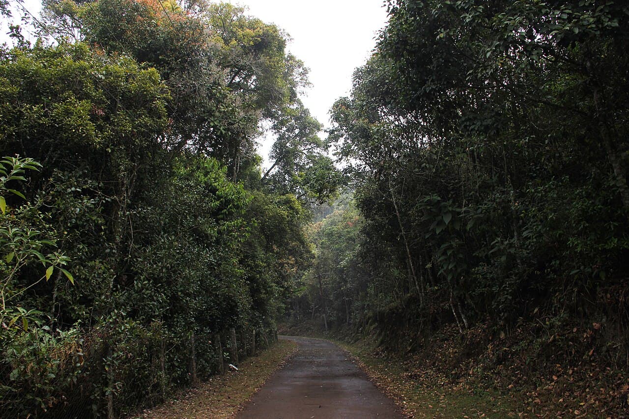
Longwood Shola
A protected pocket of old-growth shola on the edge of Kotagiri town — the easiest place in the Nilgiris to walk into intact montane forest.
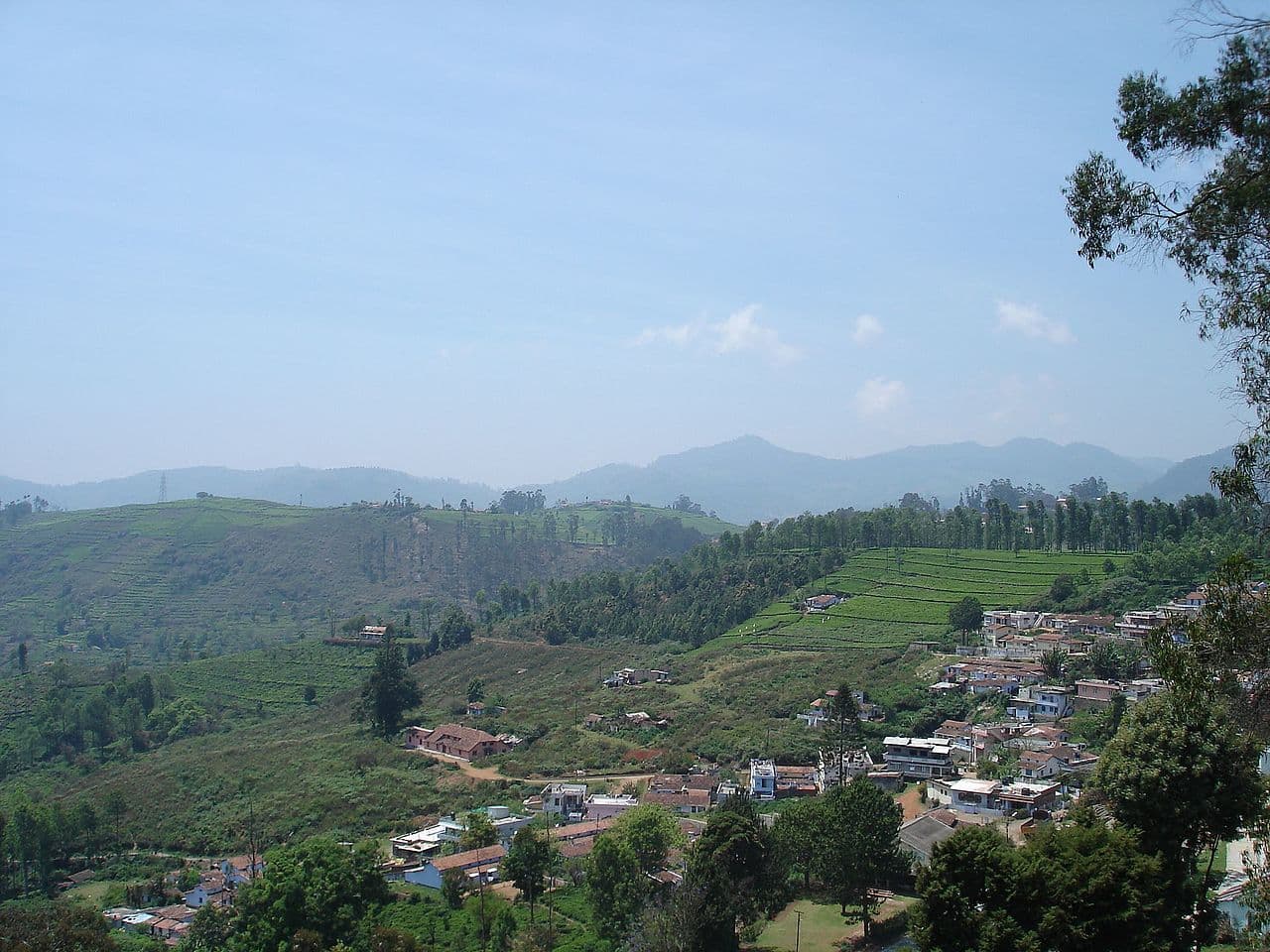
Kukal Caves
A cluster of rock shelters near Kil Kotagiri linked to the hills' indigenous past, reached by a walk through tea and grassland.
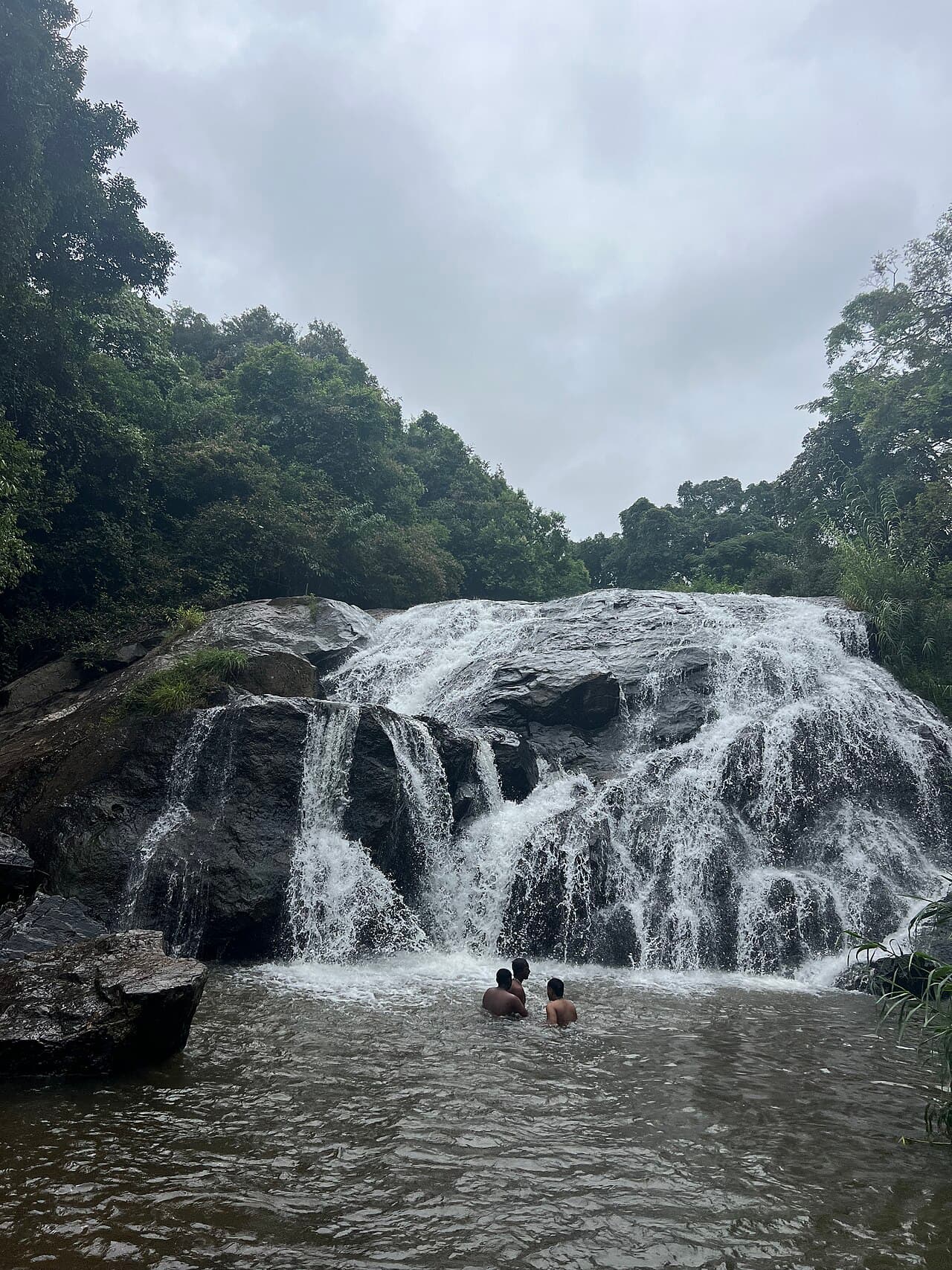
Elk Falls
A slender fall tucked into forest below Kotagiri, little visited and best after the north-east monsoon fills the stream.
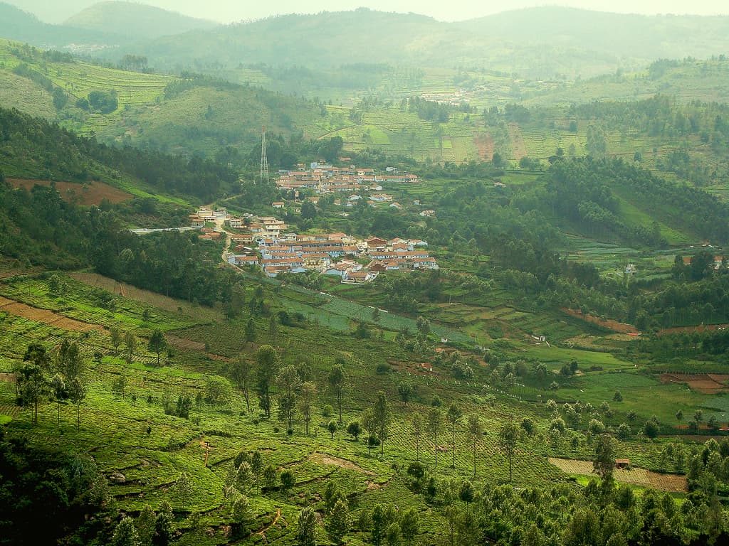
Kil Kotagiri & Aravenu Tea Trails
Quiet lanes through working tea and Badaga hattis on the lower slopes east of Kotagiri, with long views to the plains.
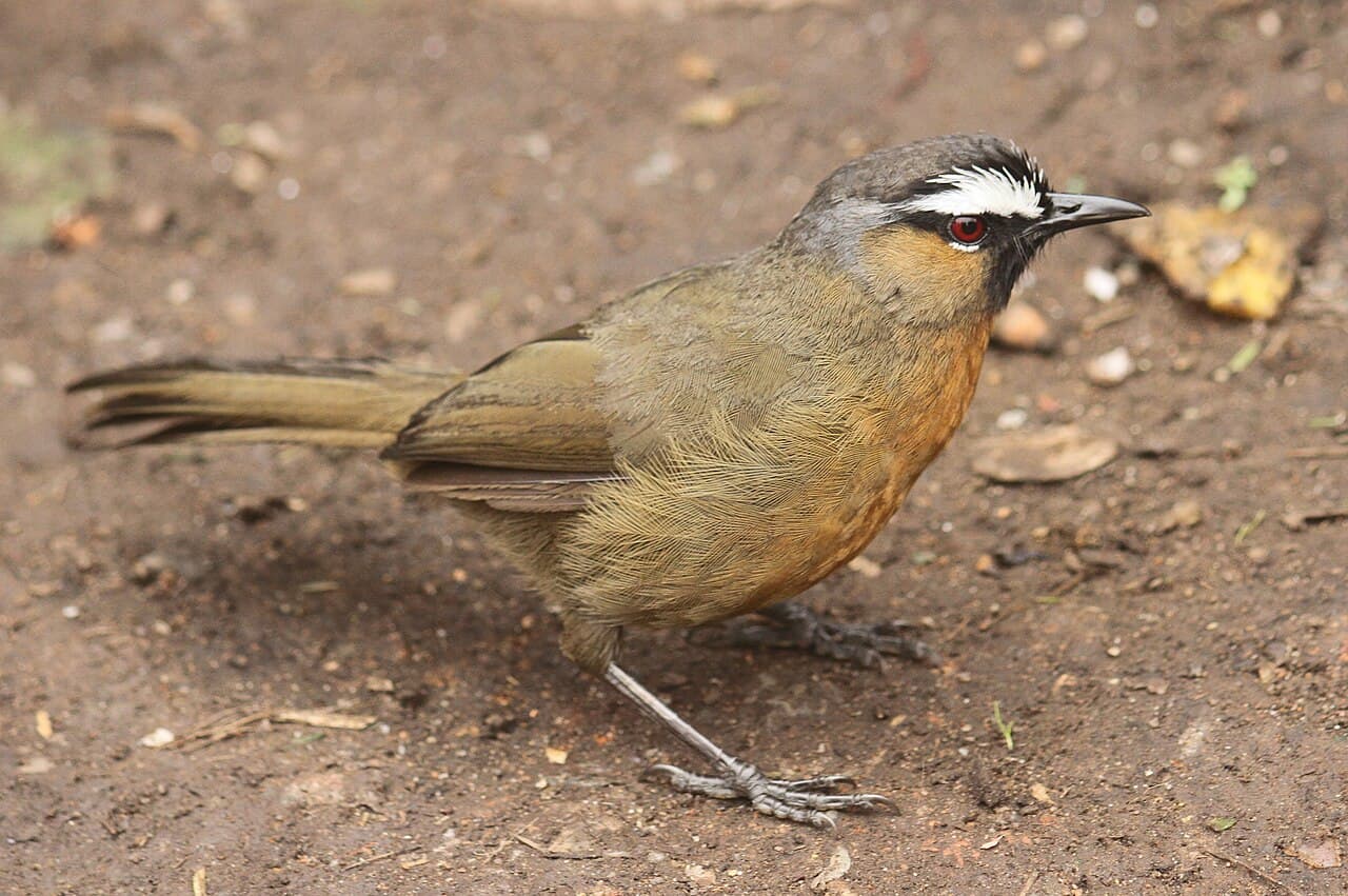
Birdwatching the Sholas
Dawn walks into the Nilgiri sholas for the hills's endemic birds — the laughingthrush, Sholakili and black-and-orange flycatcher among them.
Sigur Plateau & Mudumalai Safari
Below the Kalhatti ghat the hills fall away into the Sigur plateau — one of South India's great elephant corridors and the gateway to Mudumalai Tiger Reserve, where dawn and dusk jeep safaris run through dry-deciduous forest.
Kalhatti Ghat — 36 Hairpin Bends
The steepest motorable ghat in South India — thirty-six tight hairpin bends dropping from Ooty's montane grassland into the dry Sigur forest in just a dozen kilometres, with elephants ranging across the lower curves.
Kotagiri Ghat Road
The oldest and gentlest of the Nilgiri ghats — barely four hairpin bends in thirty-odd kilometres, climbing through tea estates with long, open views back over Mettupalayam and the plains.
Manjur–Geddai–Korakundah Backroad
A near-empty backroad into the Kundah high country — steep hairpin climbs past Manjur, the Geddai valley and dam, and Korakundah, billed as the highest tea estate in the world, before joining the Avalanche and Upper Bhavani country.
Geddai Valley Viewpoint
A quiet pull-off above the Geddai dam in the Kundah valley — misty tea slopes, a still reservoir and layer on layer of hills, with almost none of the crowds of the Ooty viewpoints.
Karikaiyur Drives & Birding
On the eastern slopes below Rangaswamy Peak, the lanes around Karikaiyur thread tea, shola and grassland into some of the loveliest quiet drives in the Nilgiris — and one of the richest birding belts on the Kotagiri side.
Planning tips
- Start treks early — hill mornings are clearest and the cloud rolls in by afternoon.
- Carry layers, water and sturdy shoes; some sholas stay damp year-round.
- A few reserves (Mukurthi, Avalanche, Upper Bhavani) need forest permits — arrange them ahead.